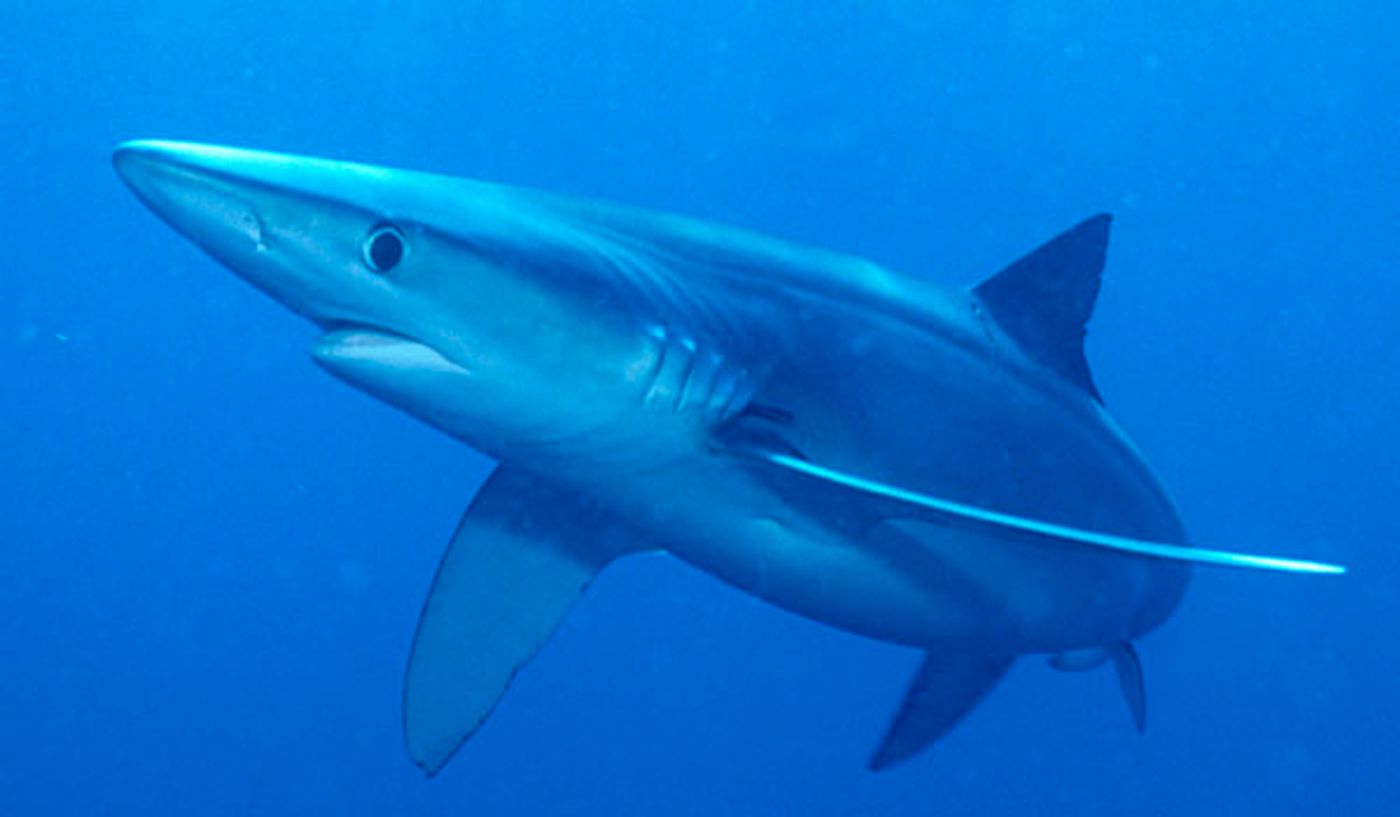
Tens to hundreds of millions of sharks are killed by the global fishing industry each year. Blue sharks (Prionace glauca) have been found to be particularly vulnerable to meeting this fate. An initiative from the University of Miami and the environmental groups Oceana and Beneath the Waves sought to explore how tracking blue sharks could help to better understand and protect them -- they tagged 10 in the pilot program. They then overlapped the shark data with information on Global Fishing Watch maps, which show the locations of more than 60,000 fishing vessels.
Global Fishing Watch is an Oceana program; it teamed up with Google and Skytruth, a business specializing in remote sensing, to create the maps in 2016. The map information can be used to monitor ships in marine protected areas, detect overfishing, or for other research and investigative purposes. By overlaying the shark tracking information gained from their satellite tags with the ship’s movement data, areas where the animals are at particular risk of bycatch and death can be identified.
"It's an exciting new tool that we’re hoping will be useful for scientists and fisheries managers. Basically, it's just one of the first times that you're seeing tagged shark data in addition to fishing data," Oceana Campaign Director Lora Snyder told Pacific Standard.
Approximately 60 to 270 million sharks are killed by fishing activities annually. A 2015 study into global patterns of shark bycatch reported that blue sharks make up more than 50 percent of bycatch in industries using longline fishing methods. These fisheries employ miles of baited hooks on a single main line. Blue sharks are the most common shark bycatch species in both U.S. and Canadian waters. They are classified as "Near Threatened" by the International Union for Conservation of Nature. Because these sharks are being so drastically impacted by fishing, they were selected as the first species to trial in the tracking endeavor.
The sharks were tagged and watched during a 110-day timespan in the Northwest Atlantic. Data was 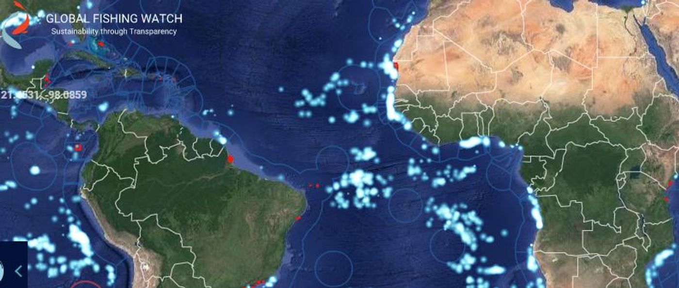 gathered whenever they surfaced. Four out of the 10 came in close proximity to longliners. This type of data layering and observation can help conservationists and regulators to better understand how fishing rules and gear may need to be altered to protect these ocean predators at certain locations and times.
Global Fishing Watch primarily utilizes automatic identification systems (AIS) data, which vessels of a certain size are required to use internationally. Another type of ship location data comes from vessel monitoring systems (VMS), which some fisheries and enforcement agencies require commercial fishing boats to have. Global Fishing Watch is now starting to use VMS data as well. Indonesia and Peru added their VMS to the Global Fishing Watch maps in 2017.
"This is particularly important not simply on the technological grounds, but because of the commitment these nations are making to transparency," Kimbra Cutlip, a spokeswoman for Global Fishing Watch, said. She also explained that other research and conservation initiatives are underway that compare fishing vessel activity with that of ocean creatures.