NOAA's 2024 Hurricane Outlook - Highly Active in the Tropical Atlantic
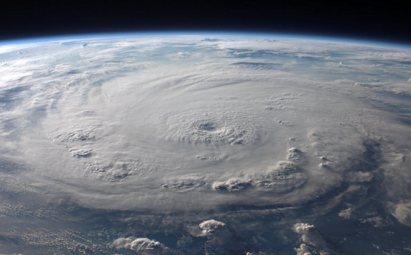
The National Weather Service's Climate Prediction Center has issued a forecast for the 2024 Atlantic hurricane season, and above-normal activity is expected this season, which officially began on June 1 and will run until November 20, 2024. There is an 85 percent chance that hurricane activity will be higher than usual, and only a ten or five percent chance of normal or below normal activity, respectively.
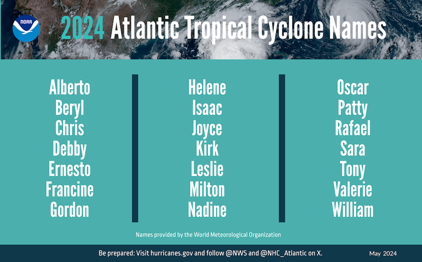
Anywhere from 17 to 25 storms with winds at 40 miles per hour (mph) or above are expected; storms of this strength will be named. Of these named storms, eight to thirteen could become hurricanes, which have winds over 74 mph, and four to seven might become major hurricanes, with sustained winds over 111 mph.
This increased activity is anticipated due to a few factors, such as incredibly high sea surface temperatures in the Atlantic Ocean, particularly the tropics; and because a La Niña pattern is forecast to emerge after an intensely strong El Niño season.
La Niña and El Niño refer to water temperatures in the equatorial Pacific Ocean (or El Niño-Southern Oscillation/ENSO), which can have big influences on weather patterns around the world. During La Niña, Atlantic trade winds are reduced and there is less wind sheer, so conditions are more favorable for the development of tropical storms. A transition to La Niña is expected to occur quickly, within the next few months.
Another factor affecting Atlantic hurricanes is the African monsoon, which is expected to have above normal activity. These monsoons can generate strong tropical waves that move east and can go on to seed some of the more powerful and long-lasting Atlantic storms.
"Severe weather and emergencies can happen at any moment, which is why individuals and communities need to be prepared today," noted FEMA Deputy Administrator Erik A. Hooks. "Already, we are seeing storms move across the country that can bring additional hazards like tornadoes, flooding and hail. Taking a proactive approach to our increasingly challenging climate landscape today can make a difference in how people can recover tomorrow."
Meanwhile in the central Pacific, a below-normal hurricane season is expected.
NOAA’s Climate Prediction Center has forecast one to four tropical cyclones in the central Pacific Hurricane region, while there are about four or five tropical cyclones in the area on average every year, including tropical depressions, tropical storms and hurricanes. This lower activity is also expected as waters cool in the Pacific and transition to a La Niña phase.


