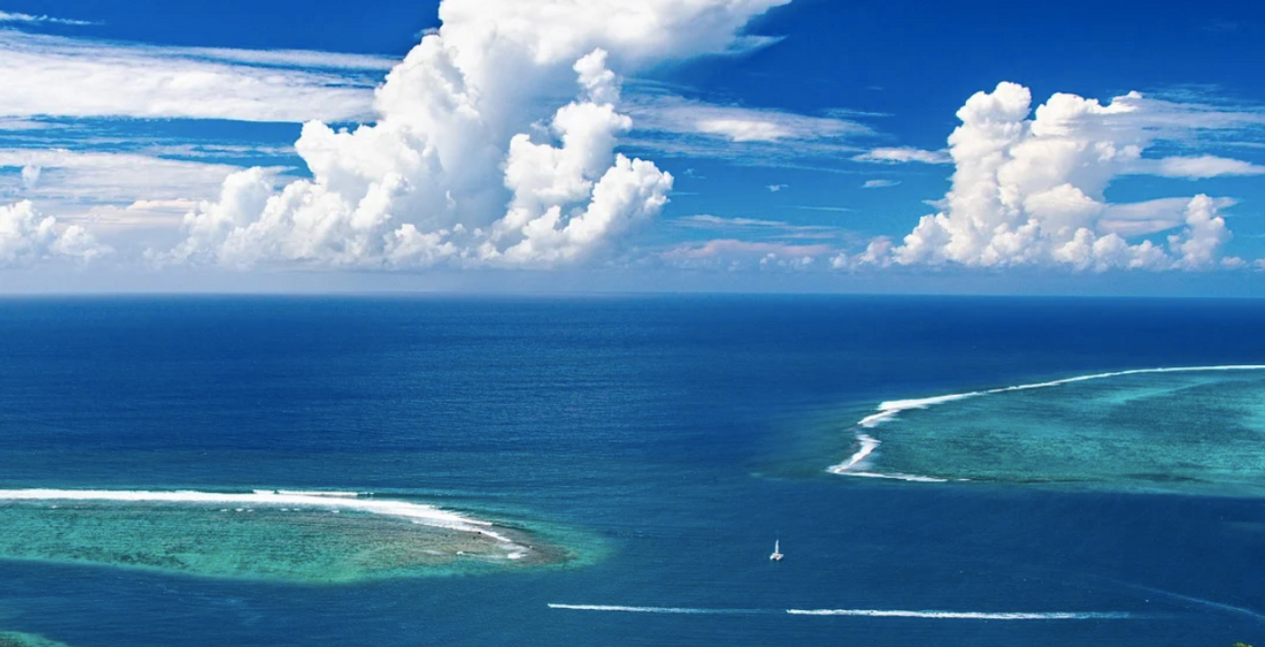
The world's weather patterns can be strongly affected by the temperature of the surface of the eastern equatorial Pacific Ocean. When those waters are cooler than average, it is known as La Niña, but if the waters there are warmer than average, it is referred to as El Niño. Last year, there was a strong El Niño, which had a big effect, and now the situation is forecast to shift to a La Niña. A La Niña is specifically defined as water temperatures in the equatorial eastern Pacific Ocean that are at least half a degree Celsius (0.9 Fahrenheit) below normal.
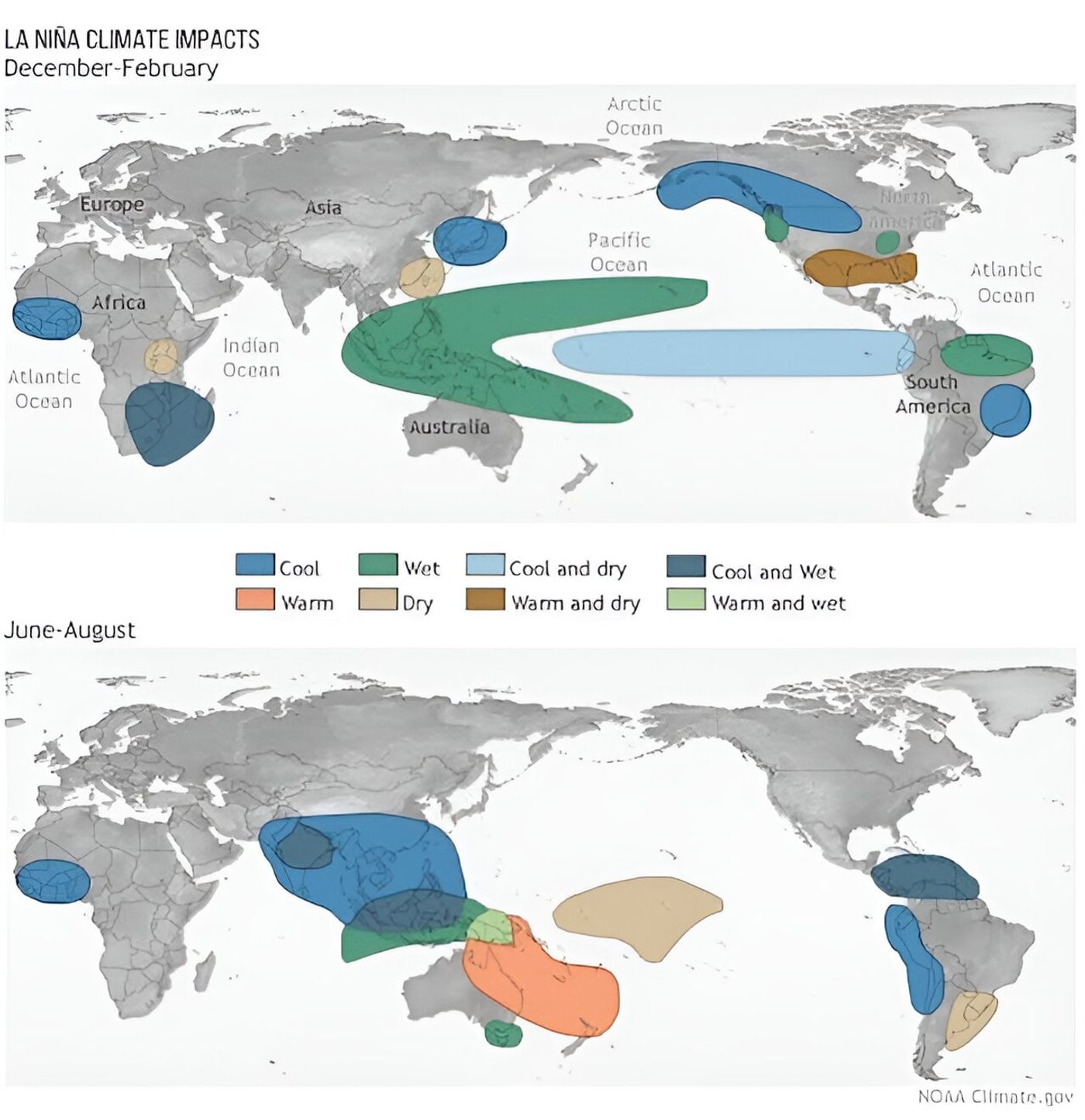
There are massive air currents that rise and fall in different regions of the tropics. For example, the humidity of the tropical forests the Amazon and Indonesia typically makes air above them more buoyant. So air usually rises there and then descends in East Africa and the eastern Pacific. These huge loops of air get more intense during La Niña, and storms get worse where the air is rising, and conditions become more arid where the air falls. In an El Niño, the heat rising from the eastern equatorial Pacific alters those loops and makes the eastern Pacific stormier.
The jet stream is also impacted by these changes. In an El Niño, the jet stream can push storms closer to the subtropics and increase rainfall there. There is often a dip in part of the jet stream during El Niño that increases storms in California as well. But the mid-latitude areas, or the Pacific Northwest that would have gotten those storms get drier.
There is also a significant reduction in the number of hurricanes in the North Atlantic during an El Niño, so as things shift to a La Niña phase, it's likely that there will be more hurricanes in the Atlantic.
Forecasters at NOAA are predicting a rapid transition to La Niña within a few months, and about a week ago, Australian meteorologists predicted the same. It's hard to say how long the next phase will last, though the length of a typical La Niña is at least two years. El Niño phases tend to be a bit shorter.
The coming La Niña may also increase the risk of drought and wildfires in the American West, which was very lucky to benefit from a massive amount of rainfall over the past year.
Unfortunately, Chile and Argentina tend towards drought during La Niña, and these areas are already dealing with problems caused by a severe and prolonged drought. Communities in East Africa are facing the same problem; they have also been grappling with an extended drought, which is likely to only get worse during La Niña.
Scientists are still learning about how climate change is affecting these phases, but it's thought that the extreme temperatures much of the world experienced during 2023 were the combination of a severe El Niño and climate change.
Experienced research scientist and technical expert with authorships on over 30 peer-reviewed publications, traveler to over 70 countries, published photographer and internationally-exhibited painter, volunteer trained in disaster-response, CPR and DV counseling.