Arsenic in your water?
A new study published in the journal Nature Communications suggests that the intensive pumping of groundwater is doing more than just emptying our aquifers – it’s also contaminating our water systems with arsenic.
Arsenic is infamous because of its connection to heart disease, diabetes, and cancer; oh yeah, and it can also cause acute poisoning! But as deadly as that sounds, arsenic in aquifers is not actually a new problem. Arsenic is naturally present in Earth's crust, making it a pretty common find in groundwater. "Arsenic in groundwater has been a problem for a really long time," said lead author Ryan Smith. "But the idea that over-pumping for irrigation could increase arsenic concentrations is new," Smith said.
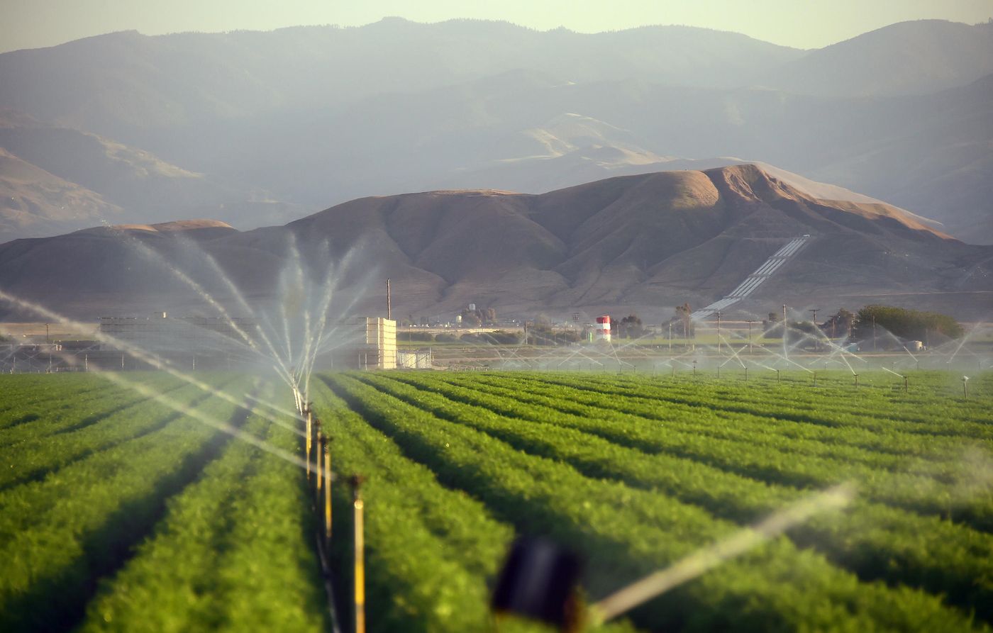
The study looked at California's San Joaquin Valley, specifically in the Tulare basin, where pumped-up groundwater supplies drinking water for a million people as well as irrigation for crops.
But groundwater pumping is also making the ground sink, according to satellite-derived measurements, and sinking ground exposes arsenic to the entire water system. By analyzing arsenic measurements for several hundred wells in the Valley, the team was able to determine that when the land sinks faster than 3 inches per year, the risk of finding hazardous arsenic levels in groundwater can triple. That’s definitely too much arsenic for comfort. But where is the arsenic even coming from?
Science Daily explains the science of it down to a point: “Aquifers in the Tulare basin are made up of sand and gravel zones separated by thin layers of clay. The clay acts like a sponge, holding tight to water as well as arsenic soaked up from ancient river sediments. Unlike the sand and gravel layers, these clays contain relatively little oxygen, which creates conditions for arsenic to be in a form that dissolves easily in water.” When the arsenic dissolves into water, it’s just an easy hop to ending up in your or your neighbor’s well.
The researchers cautioned that over-pumping could be causing similar problems in other aquifers, particularly in aquifers where a source of arsenic is present among alternating layers of clay and sand and a relatively low oxygen content.
Indeed, the San Joaquin Valley isn’t the only place where this pattern has been observed. A previous study in the Mekong Delta also showed high arsenic concentrations where land was sinking. Such consistency suggests that scientists may be able to use the satellite imagery method from this study as a technique to warn communities when arsenic contamination is reaching dangerous levels. "Instead of having to drill wells and take water samples back to the lab, we have a satellite getting the data we need," said study co-author Rosemary Knight. This could greatly improve water monitoring and benefit public health concerns.
Sources: Science Daily, Nature Communications


