Geodesy
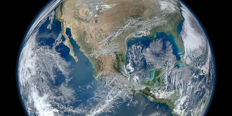
Geodesy: the science of accurately measuring and understanding three fundamental properties of the Earth: its geometric shape, its orientation in space, and its gravity field- as well as the changes of these properties with time. Many organizations use geodesy to map the U.S. shoreline, determine land boundaries, and improve transportation and navigation safety. To measure points on the Earth's surface, geodesists assign coordinates (similar to a unique address) to points all over the Earth. oday, geodesists use space-based tools like the Global Positioning System (GPS) to measure points on the Earth's surface.
What's Popular in Geodesy
-
MAY 24, 2022Earth & The EnvironmentAntarctica has always been a wonderous place with its scenic views and extremophile inhabitants. It has become a scienti ...Written By: Mandy WoodsMAR 24, 2021Earth & The EnvironmentNew research published in the Journal of Geodesy establishes a novel approach to measuring elevation – one th ...Written By: Kathryn DeMuth SullivanFEB 23, 2020Space & AstronomyNASA’s sent its Interior Exploration using Seismic Investigations, Geodesy and Heat Transport (InSight) mission to ...Written By: Anthony BouchardFEB 19, 2019Space & AstronomyNASA’s Interior Exploration using Seismic Investigations, Geodesy and Heat Transport (InSight) lander touched down ...Written By: Anthony BouchardFEB 17, 2019Earth & The EnvironmentThink back to Earth Science class in middle school. You probably learned that our planet has three layers: crust, mantle ...Written By: Kathryn DeMuth Sullivan
MAY 24, 2022
Earth & The Environment
Antarctica has always been a wonderous place with its scenic views and extremophile inhabitants. It has become a scienti
...
Written By:
Mandy Woods
MAR 24, 2021
Earth & The Environment
New research published in the Journal of Geodesy establishes a novel approach to measuring elevation – one th
...
Written By:
Kathryn DeMuth Sullivan
FEB 23, 2020
Space & Astronomy
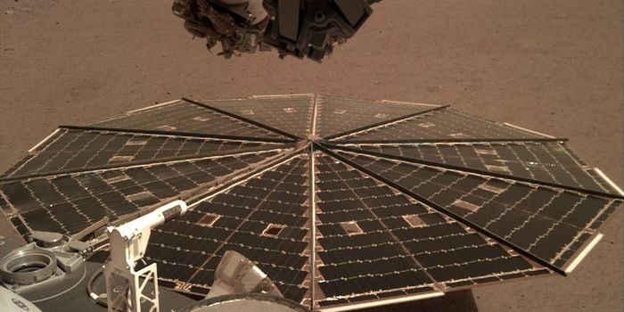
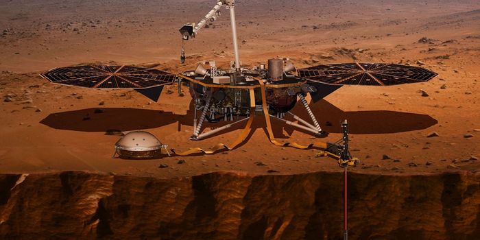
NASA’s sent its Interior Exploration using Seismic Investigations, Geodesy and Heat Transport (InSight) mission to
...
Written By:
Anthony Bouchard
FEB 19, 2019
Space & Astronomy
NASA’s Interior Exploration using Seismic Investigations, Geodesy and Heat Transport (InSight) lander touched down
...
Written By:
Anthony Bouchard
FEB 17, 2019
Earth & The Environment
Think back to Earth Science class in middle school. You probably learned that our planet has three layers: crust, mantle
...
Written By:
Kathryn DeMuth Sullivan
DEC 09, 2018
Space & Astronomy
It’s been less than two weeks since NASA’s Interior Exploration using Seismic Investigations, Geodesy and He
...
Written By:
Anthony Bouchard
APR 30, 2018
Space & Astronomy
This upcoming Saturday isn’t just Cinco de Mayo; it’s also the day that NASA plans to launch its highly-anti
...
Written By:
Anthony Bouchard
OCT 24, 2015
Space & Astronomy
NASA developed a laser communication system, which they tested for the first time in 2013 when they communicated with th
...
Written By:
Andrew J. Dunlop
MAY 28, 2015
Space & Astronomy
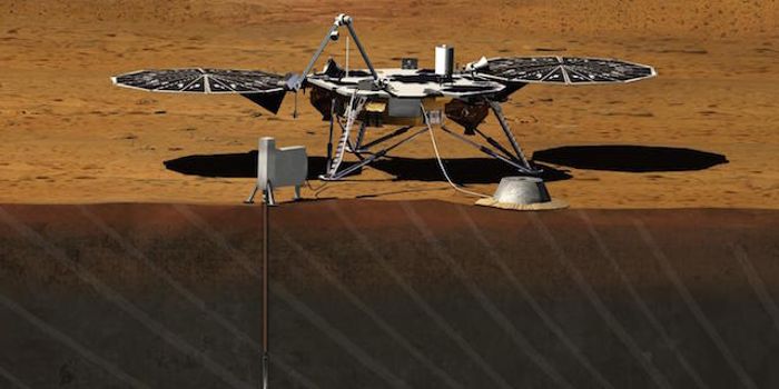
NASA has started testing its new Mars lander, which is scheduled to leave for the red planet in March of 2016. It's big,
...
Written By:
Andrew J. Dunlop
